Urban mobility data in Lima and Callao
Moving through Lima and Callao has historically been difficult for both the citizenry and visitors, in part due to the lack of accessible, standardized, and easily integrable information on bus routes and stops. Without an orderly and standardized data layer, the citizenry and visitors depend on informal knowledge or closed and poorly integrated applications to move around the city.
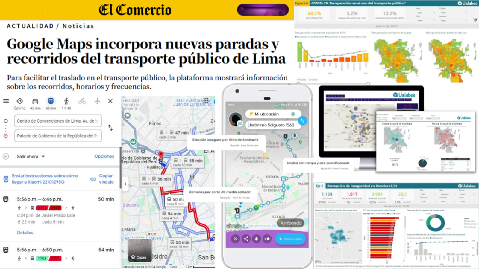
We digitized and structured urban public transport data for Metropolitan Lima and Callao, transforming it into the General Transit Feed Specification (GTFS) standard. This process allowed the city's mobility information to be brought to a level comparable with international standards and made it interoperable with daily use services. Thanks to this, any citizen or tourist can consult bus lines and stops without needing to download an additional application, taking advantage of tools and services that already consume open mobility data.
We converted key urban transport information into structured and usable data to expand its access and facilitate daily mobility.
The work was adopted by Google Maps, democratizing access to urban transport information in Lima and Callao. Thanks to this, any citizen or tourist can move through the city with greater clarity about lines and stops, without needing to download an additional application.